Ratings & Reviews performance provides an overview of what users think of your app. Here are the key metrics to help you identify how your app is rated by users and how successful is your review management strategy.
User reviews affect conversion to installs and app rating. Featured and helpful reviews are the first to be noticed by users and in case of no response can affect download rate.
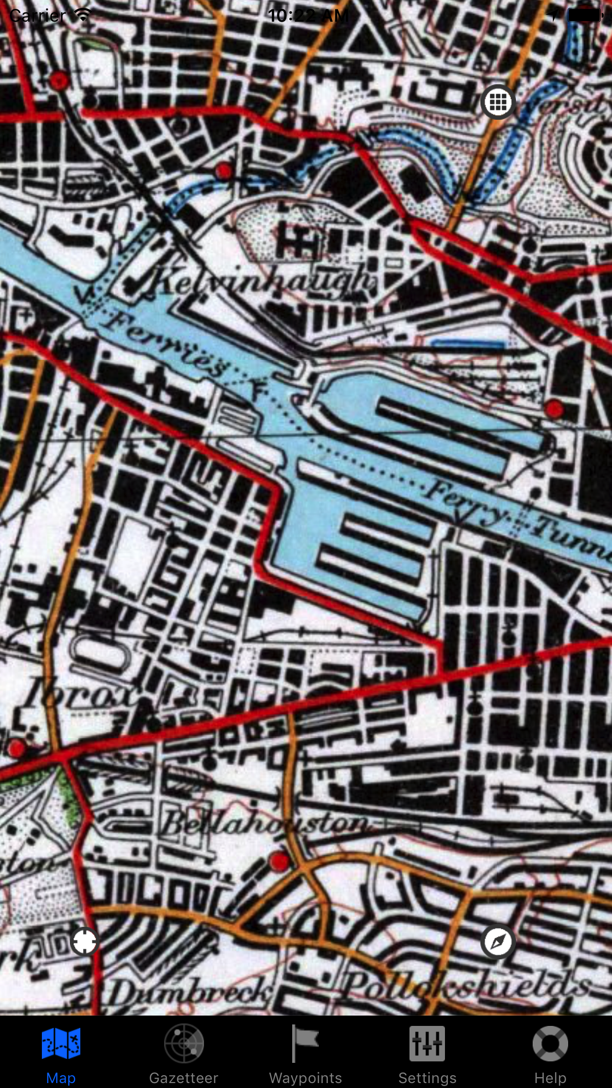
*** Please do not use reviews to report bugs or ask for features. I almost never read the reviews and I cannot contact you for additional information! Contact support@outsidemaps.com instead *** Outside Maps is an iPhone/iPad/iPod Touch application that enables you to view and navigate a wide variety of mapping data using an easy-to-use touch interface. Outside Maps supports Ordnance Survey mapping for Great Britain at various scales including 1:50000. Outside Maps supports WORLDWIDE coverage for OpenStreetMap, OpenCycleMap and the Stamen and Thunderforest map sources. Outside Maps supports historic 1" Ordnance Survey mapping from 1880-1990 and 1921-1947 courtesy of the National Library of Scotland. Outside Maps supports shaded terrain data for the UK only derived from Ordnance Survey OS Terrain 50. Outside Maps supports shaded terrain data for Scotland only derived from Scottish Government 1m LIDAR. Outside Maps includes ESRI aerial photography courtesy of ESRI. Outside Maps includes the following features: - Intuitive "slippy maps" interface - Native iPad support in both portrait and landscape modes - Current Ordnance Survey mapping is available - OpenStreetMap and derived data is supported at all available resolutions - Historic 1" Ordnance Survey data from 1880-1990 and 1921-1947 - OpenCycleMap support - Thunderforest "Landscape" and "Transport" mapping support - Stamen mapping support - ESRI aerial imagery - Hill-shading mapping for the UK at 50m and selected 1m resolution - Full Ordnance Survey OSTN02 adjustments for highest accuracy (+/- 1m accuracy) - Real-time position tracking via GPS (or WiFi-based positioning) - Compass and bearing (either using GPS and movement tracking or hardware compass if available) - "Lookahead" feature when moving at > 5mph - Waypoints functionality including import and export via GPX format - OS OpenSpace-driven postcode and placename lookup (online only) - Grid reference and latitude/longitude lookup (offline) - what3words support (online only)