Ratings & Reviews performance provides an overview of what users think of your app. Here are the key metrics to help you identify how your app is rated by users and how successful is your review management strategy.
User reviews affect conversion to installs and app rating. Featured and helpful reviews are the first to be noticed by users and in case of no response can affect download rate.
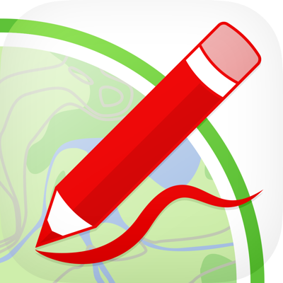
Manage your own map, with annotations and lines, and share it via twitter or emal. A simple but complete GIS system (add, move, delete and edit attributes) It's possible to drag placemarks from the scrollable top bar into the map (if the scrollable bar is not visible, click the icon on the right top corner); you can choose among many symbols. Elements are initially inserted without attributes. You can select an element in the map and then click in the arrow to begin editing data. In order to begin moving placemarks, you must put the map in modify mode clicking on the pencil icon on the right top. From now on, you can select a placemark in the map and drag it. If you drag the placemark inside the trash in the right bottom, the placemark is deleted (the trash is visible only when the map is in modify mode). In order to put the map in default mode (no modify), click again on the icon . It's possible to delete placemarks in two ways: in the editing attributes form, selecting the red delete button; or with the move placemark functionality, dragging the placemark in the trash. In order to insert lines, click in the icon "draw" in the top right corner (below the edit icon) and then start drawing in the map. You can select an element in the map and then click in the arrow to begin editing data. In order to begin editing lines, you must put the map in modify mode clicking on the pencil icon on the right top. The movable vertices are shown with red squares. If vertices are away enough, a yellow movable square is shown in the middle of the segment; this can be used to insert a new vertex. In order to put the map in default mode (no modify), click again on the pencil icon . You can delete a line removing all vertices (dragging them in the trash). You can quickly delete the whole line in the editing attributes form, selecting the red delete button. You can share the map via twitter or email, clicking the icons in bottom left corner. Sharing via email, a kmz file is included. MyGIS can save a file named MyGIS.kmzMyGIS, that can be open with another app (i.e., dropbox, in order to save it). Selecting a file with kmzMyGIS extension, you can then open it with MyGIS, this will allow you to overwrite your map with the file content.