Ratings & Reviews performance provides an overview of what users think of your app. Here are the key metrics to help you identify how your app is rated by users and how successful is your review management strategy.
User reviews affect conversion to installs and app rating. Featured and helpful reviews are the first to be noticed by users and in case of no response can affect download rate.
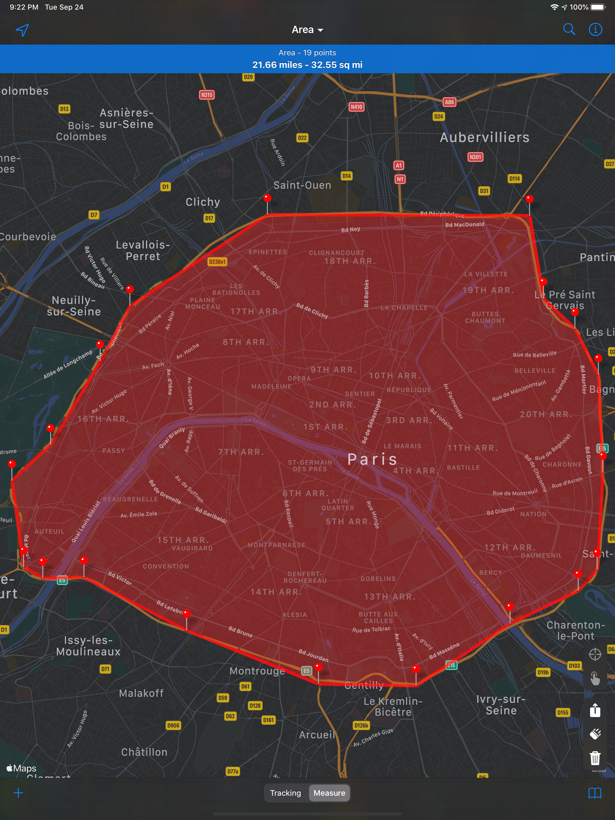
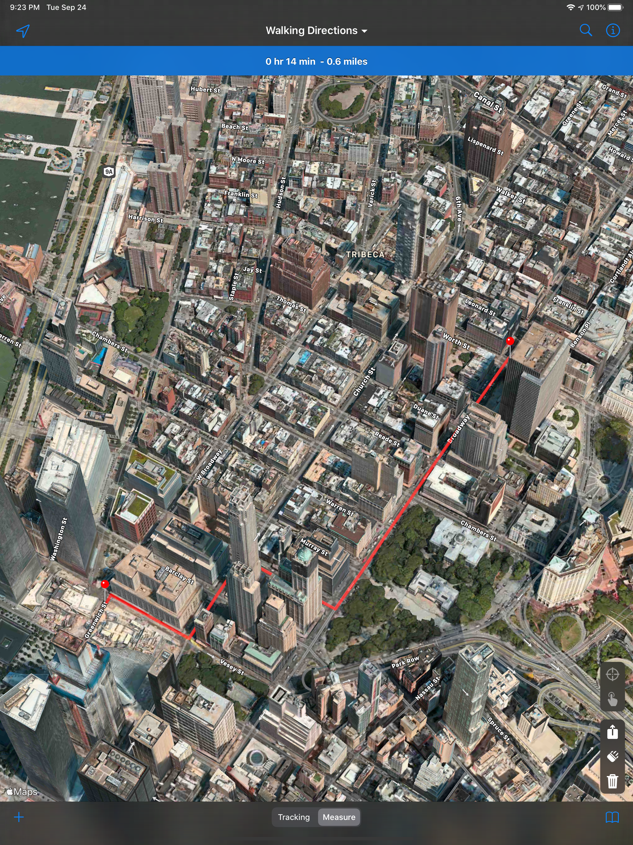
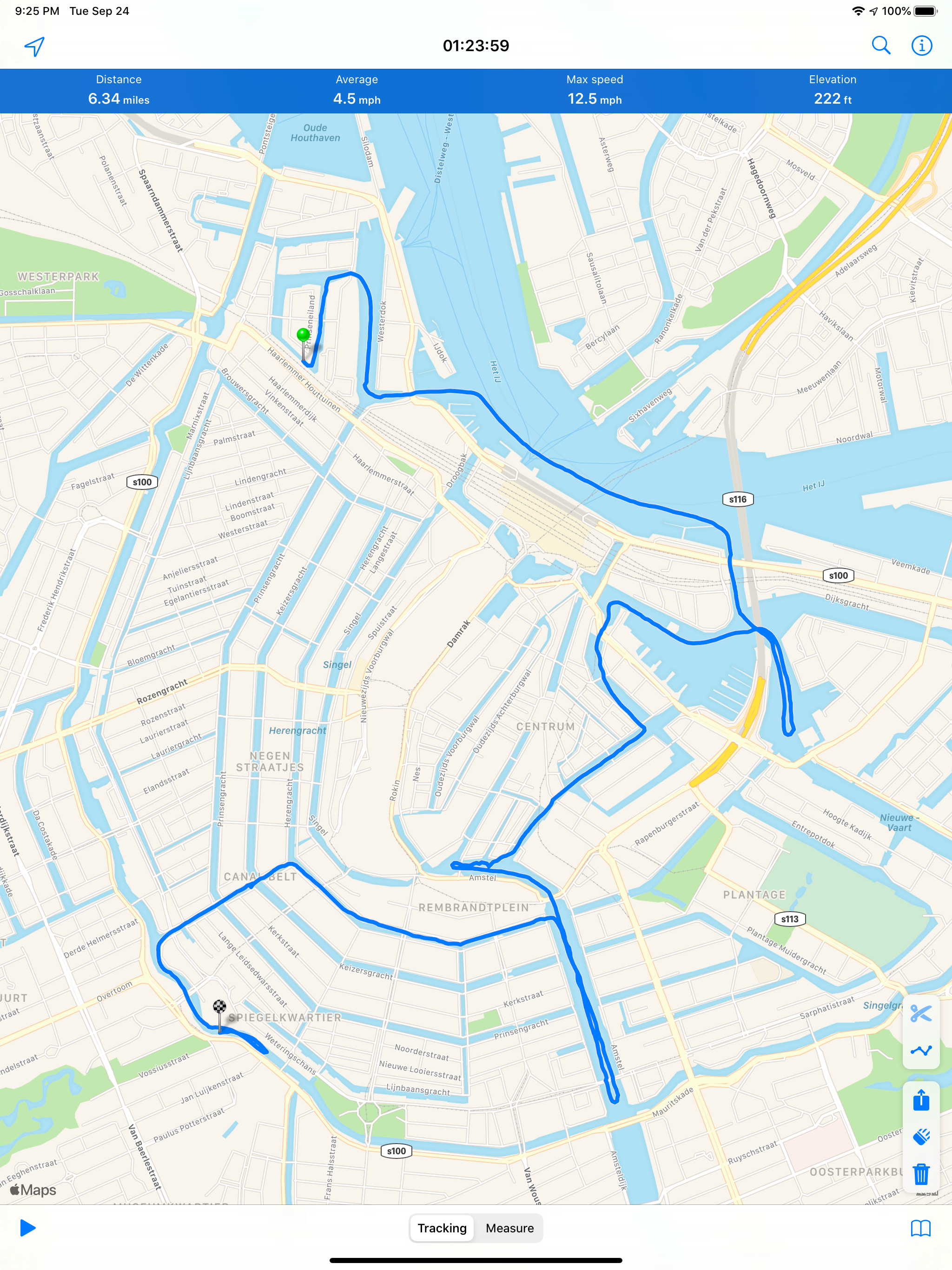
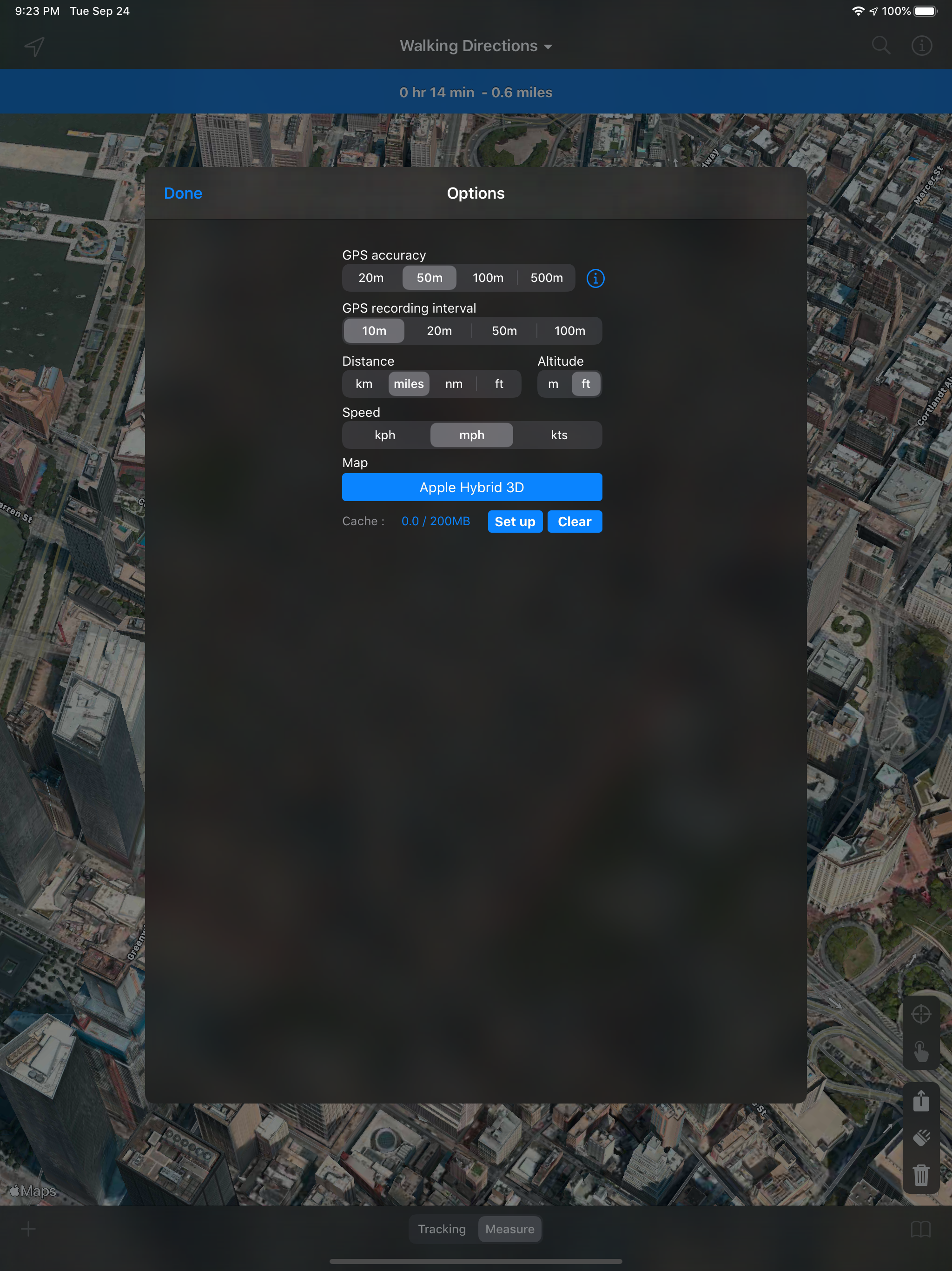
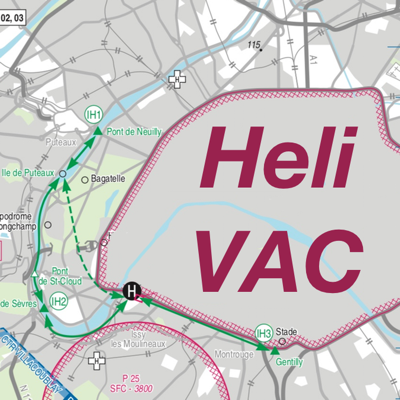
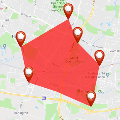
***** STANDARD VERSION ***** This version of MapPath has 2 restrictions : - you can not record a trip more than a minute - you can not add more than 4 points in your measures The PRO version has no restrictions. ***** STANDARD VERSION ***** MapPath is an easy-to-use app allowing you to record your trips. It displays your track, your position and live information such as your speed, altitude or average speed. MapPath is also an utility that allows you to establish directions, measure distances, surface areas and perimeters by dragging pins (points) on the map. # GPS Tracker Features : - record your run: time, distance, altitude, speed, average speed - pause and resume recording as needed - display your track on the map - display charts of your altitude, speed and pace - location and heading tracking - cut portion of the track - display simultaneously several tracks on the map - change color of each track on the map # Measures Features : - directions up to 30 steps - measure distances, surface areas and perimeters using pins (points) on the map - add point to your measure by taping and holding the map - display simultaneously several measures on the map - change color of each measure on the map # Import / Export Features : - import and export tracks and measures as KML, KMZ, ITN, GPX and CSV files # Options : - gps accuracy options - system of units options - map types selection : Apple standard & satellite (3D) maps, OpenStreetMap, OpenSeaMap # And also : - Dark Mode on iOS 13 - Split View and Slide Over multitasking on iPad - Widget displaying informations about your current location or current tracking MapPath use iCloud to automatically keep in sync your tracks and measures across your devices. If you have any problem, suggestion, please feel free to contact me at contact@julienroze.fr Note that continued use of GPS running in the background can dramatically decrease battery life.