Ratings & Reviews performance provides an overview of what users think of your app. Here are the key metrics to help you identify how your app is rated by users and how successful is your review management strategy.
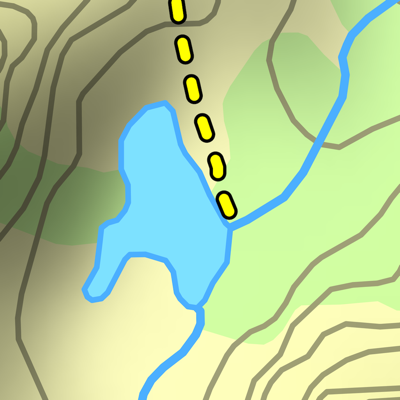
A topographical map of Kananaskis Country, Alberta, Canada. The trails on the map include Burstall Pass, Chester Lake, Rawson Lake, Elbow Lake, Ptarmigan Cirque, Nihahi, Moose Mountain, and Ribbon Falls. - Search or browse the names of trails, mountains, lakes, rivers, creeks, and backcountry campgrounds. - Track your current location and elevation with GPS (on devices with a GPS receiver). - Add flags (waypoints) to mark locations, including your current location and elevation. - Share flags with others using email or message. - Measure distance by sliding finger across the map. - Use the map with no Internet connection. The entire map is stored on your device. Note: This is an unofficial map and is not endorsed by the Government of Alberta.