Ratings & Reviews performance provides an overview of what users think of your app. Here are the key metrics to help you identify how your app is rated by users and how successful is your review management strategy.
User reviews affect conversion to installs and app rating. Featured and helpful reviews are the first to be noticed by users and in case of no response can affect download rate.
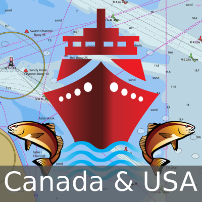
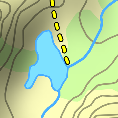
This hunting GPS app provides access to property line maps, parcels & public lands, land ownership details. Map layers for 50+ states include hunting zones, restricted areas, possible access areas, state refgues and more. Vector topo maps with most accurate USGS elevation contours, hiking & biking trails. Coverage includes all US states. ► Vector Topo Maps √ Beautiful & detailed Hardware/GPU accelerated vector maps (text stays upright on rotation) √ Vector USGS contours (Change height to ft or meter). √ Covers popular hiking & biking trails and paths ► Parcel Maps √ Includes following ownerhsip attributes (where available) * Owner name and Owner address * Site Address * Parcel ID Total Value ► Hunt Planning maps √ Possible Public Access √ Public lands and Parcels √ Hunting Zones √ Game Distribution √ Restricted Ares √ Portions ► Offline vector maps √ Easy to download offline topos ► PLSS maps √ PLSS Townships and Sections (US Wide coverage) ► Custom base maps √ Switch base maps between vector topos, hybrid satellite imagery and more ►GPS FEATURES √ Record Tracks √ Enter or import Waypoints. √ Auto Follow * Real Time Track Overlay * Predicted Path Vector * Course Up(Text stays upright) * Speed & Heading √ Route Assistance With Voice Prompts * Prompts when approaching a boating route marker * Continous distance & ETA updates * Alerts when off route * Alerts when moving in wrong direction ►ROUTE MANAGEMENT / TRIP PLANNING √ Create New Route/Edit Existing Routes √ Move Points √ Add points to an existing route leg √ Delete / Rename points √ Import GPX,KML & KMZ files √ Plot/Edit Routes √ Enter Waypoints √ Share/Export Routes,Tracks&Markers √ Reverse Routes ►Solunar Forecast * Sun Rise, Sun Set * Moon Rise, Moon Set, Moon Transit, Moon Phase * Major & Minor activity times * Day Scale ► SHARING * Share tracks/routes/markers on Facebook & Twitter * Export tracks/routes/markers as compressed GPX files.