Ratings & Reviews performance provides an overview of what users think of your app. Here are the key metrics to help you identify how your app is rated by users and how successful is your review management strategy.
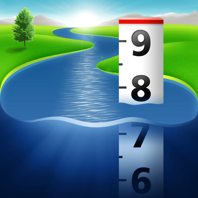
Accurate, simple to use Satellite Map based Louisiana tide charts of the all NOAA based Louisiana tide stations and surrounding states on a simple to use satellite map. Designed by Louisiana fishermen and Professional Louisiana Fishing Guides. Features the closest satellite viewing to locate new fishing spots. NO SPAM ADS, SIMPLE TO USE...100% AD FREE. Other Features: Ability to forecast Louisiana tides from NOAA by setting date and period for any of the tidal stations for the entire State of Louisiana tide tables. Excellent support for any issues, questions or new features...simply email: info@nestides.com and we'll show you how Apple support is meant to be. When GPS is available auto-locate your position and zoom to the map for surrounding NOAA Louisiana tide charts. Included is the ability to zoom and view satellite imagery for fishing ground characteristics to compare with tide movement. Advanced tide graphs allow for you to judge the level of water movement for optimal fishing between high and low tide in Louisiana between tide stations so you can follow the tide flow for the entire day. Recent Feedback: "NesTides ability to display tide predictions and actual tidal flow graphs allow me to extend fishing trips by following different tide station tide charts and moving with the tide flow. The satellite view allows me to explore and discover new fishing grounds I never knew existed. Absolutely the best fishing software tool I have ever used. ," said USCG Captain Mike K. Louisiana tide tables, Louisiana tides, Louisiana tide charts, Louisiana tidal Support URL: http://www.nestides.com/contact-us/ Privacy Policy & Terms of Use URL: http://www.progresstechnologies.com/blog/120/privacy-policy-and-terms-of-use/ Tide Stations Include: The Rigolets, U.S. Highway 90 tides Bayou BonFouca, Route 433 tide charts Tchefuncta River, Lake Pontchartrain tides New Canal USCG station, Lake Pontchartrain tide charts Chef Menteur, Chef Menteur Pass tides Michoud Substation, ICWW tide charts Shell Beach, Lake Borgne tides Grand Pass tide charts Chandeleur Light tides Comfort Island tide charts Bay Gardene tides Breton Islands tide charts Jack Bay tides Lonesome Bayou (Thomasin) tide charts Grand Bay tides Mississippi River tide charts North Pass, Pass a Loutre tides Venice, Grand Pass tide charts Pilottown tides Southeast Pass tide charts SOUTH PASS tides Port Eads, South Pass tide charts Southwest Pass tides Joseph Bayou tide charts Paris Road Bridge (ICWW) tides Empire Jetty tide charts Bastian Island tides Quatre Bayous Pass tide charts Barataria Pass tides Barataria Bay tide charts EAST POINT, GRAND ISLE tides Bayou Rigaud, Grand Isle tide charts Independence Island tides Manilla tide charts Lafitte, Barataria Waterway tides Caminada Pass (bridge) tide charts Port Fourchon tides Leeville, Bayou LaFourche tide charts Timbalier Island, Timbalier Bay tides East Timbalier Island, Timbalier Bay tide charts Pelican Islands, Timbalier Bay tides Wine Island, Terrebonne Bay tide charts Cocodrie, Terrebonne Bay tides E. ISLE DERNIERES, LAKE PELTO tide charts Caillou Boca tides Raccoon Point, Caillou Bay tide charts Texas Gas Platform, Caillou Bay tides Atchafalaya Bay tide charts Eugene Island, North of, Atchafalaya Bay tides Point Au Fer tide charts Shell Island tides Stouts Pass at Six Mile Lake tide charts Point Chevreuil tides Rabbit Island, 5 miles south of tide charts South Point, Marsh Island tides Lighthouse Point tide charts Ship Shoal Light tides Cote Blanche Island, West Cote Blanche Bay tide charts Southwest Pass, Vermilion Bay tides Cypremort Point tide charts Weeks Bay tides Freshwater Canal Locks tide charts Mermentau River entrance tides Calcasieu Pass tide charts Bulk Terminal tides Lake Charles tide charts