Ratings & Reviews performance provides an overview of what users think of your app. Here are the key metrics to help you identify how your app is rated by users and how successful is your review management strategy.
User reviews affect conversion to installs and app rating. Featured and helpful reviews are the first to be noticed by users and in case of no response can affect download rate.
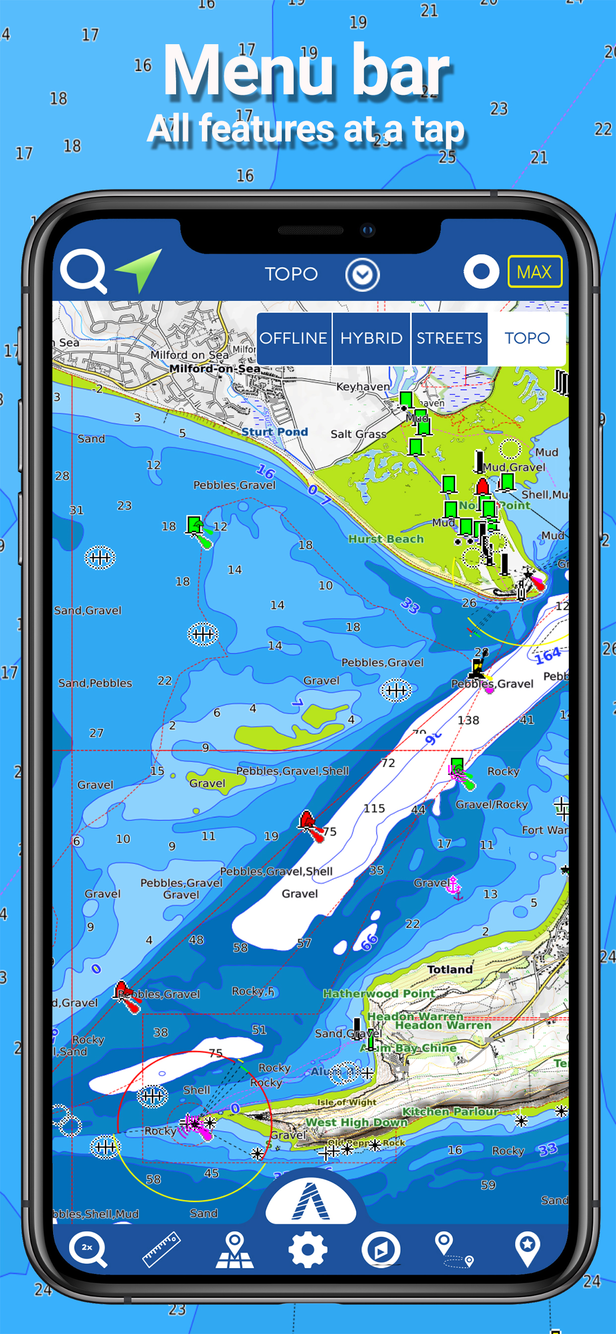
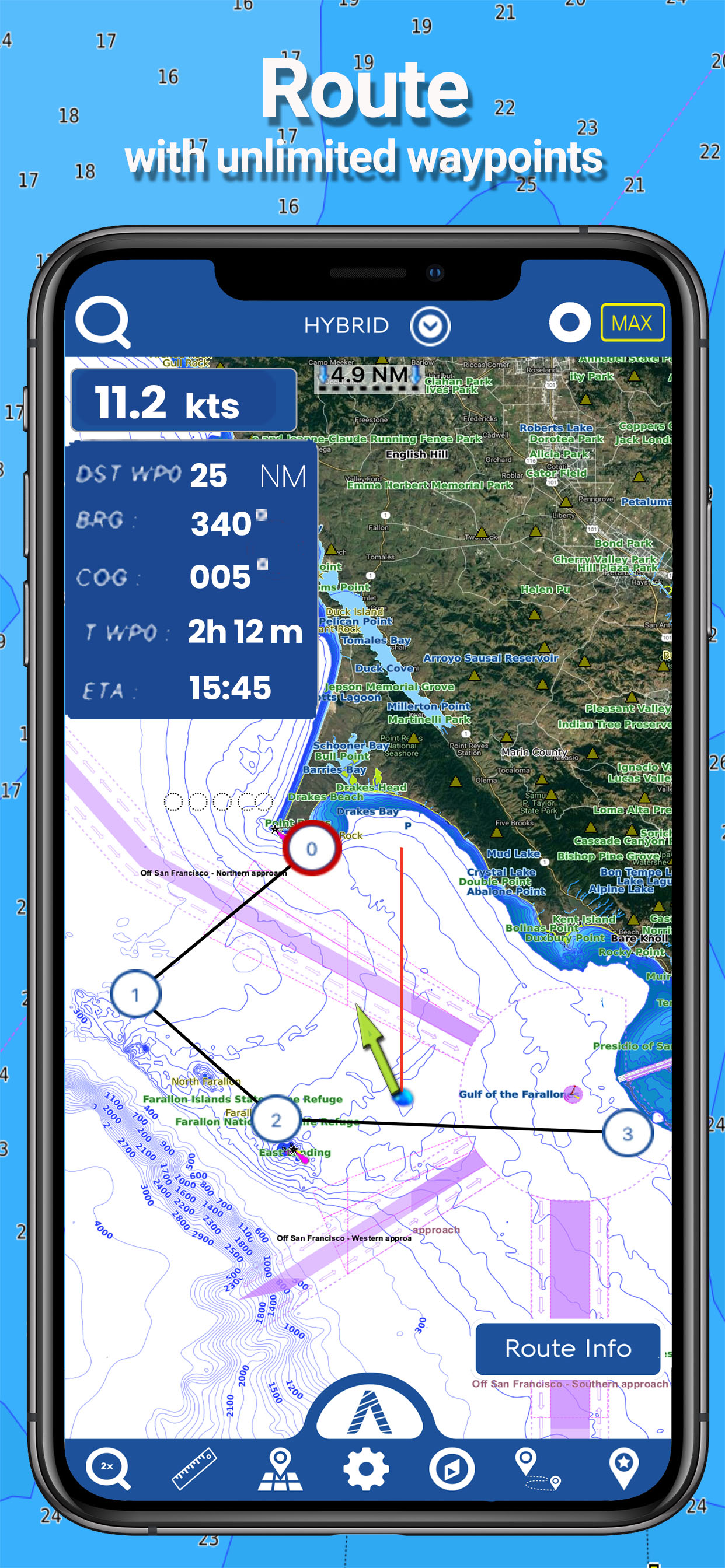
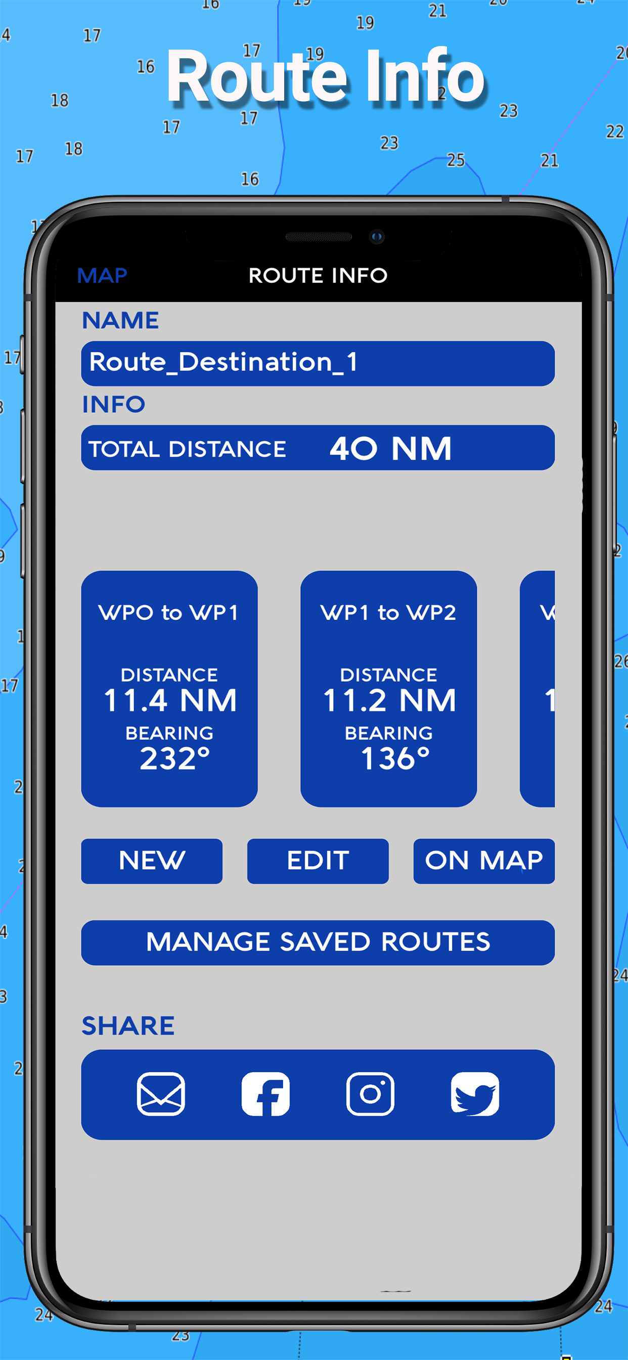
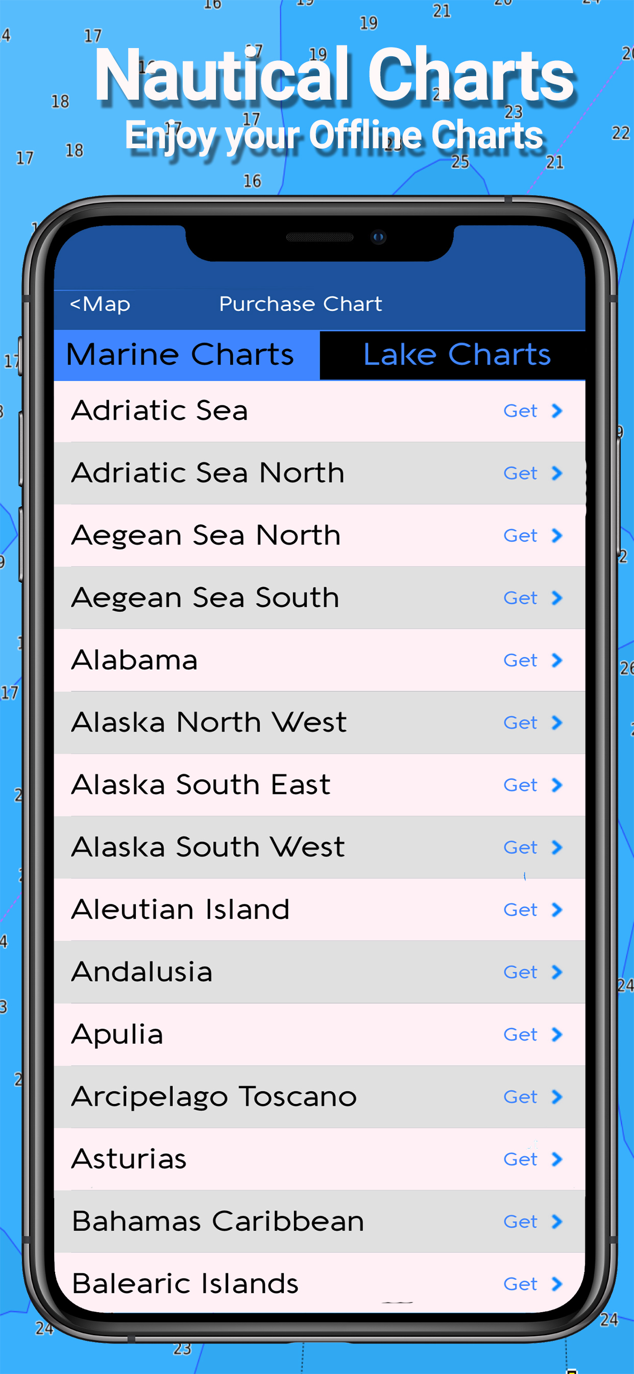
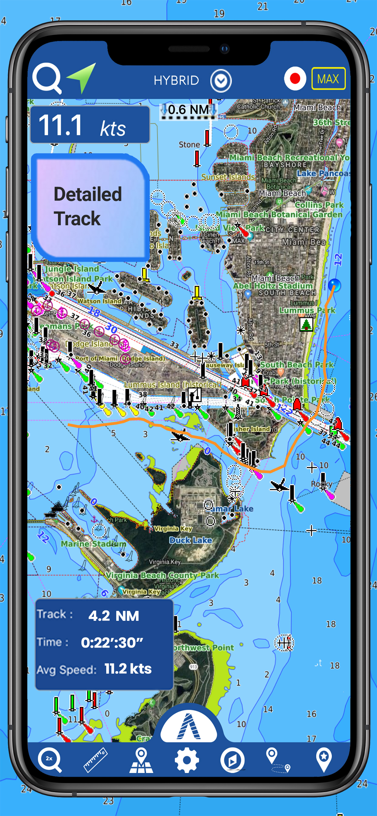
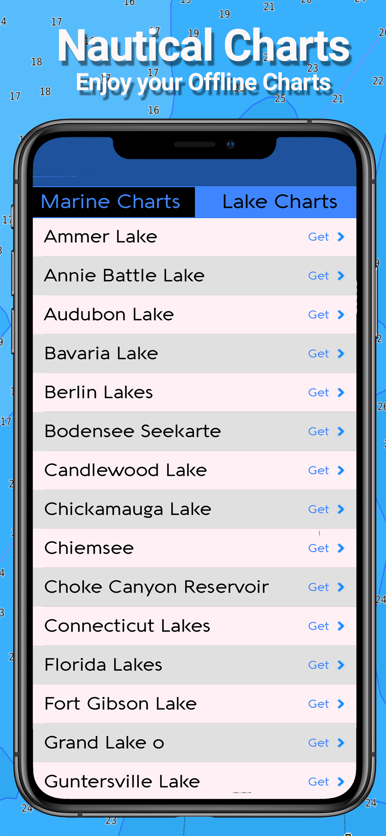
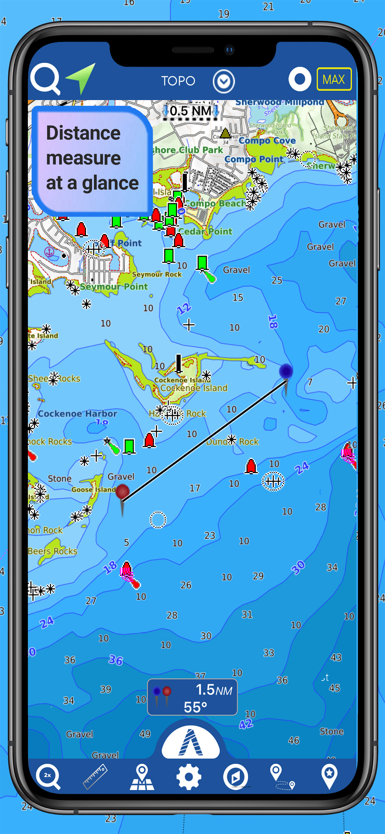
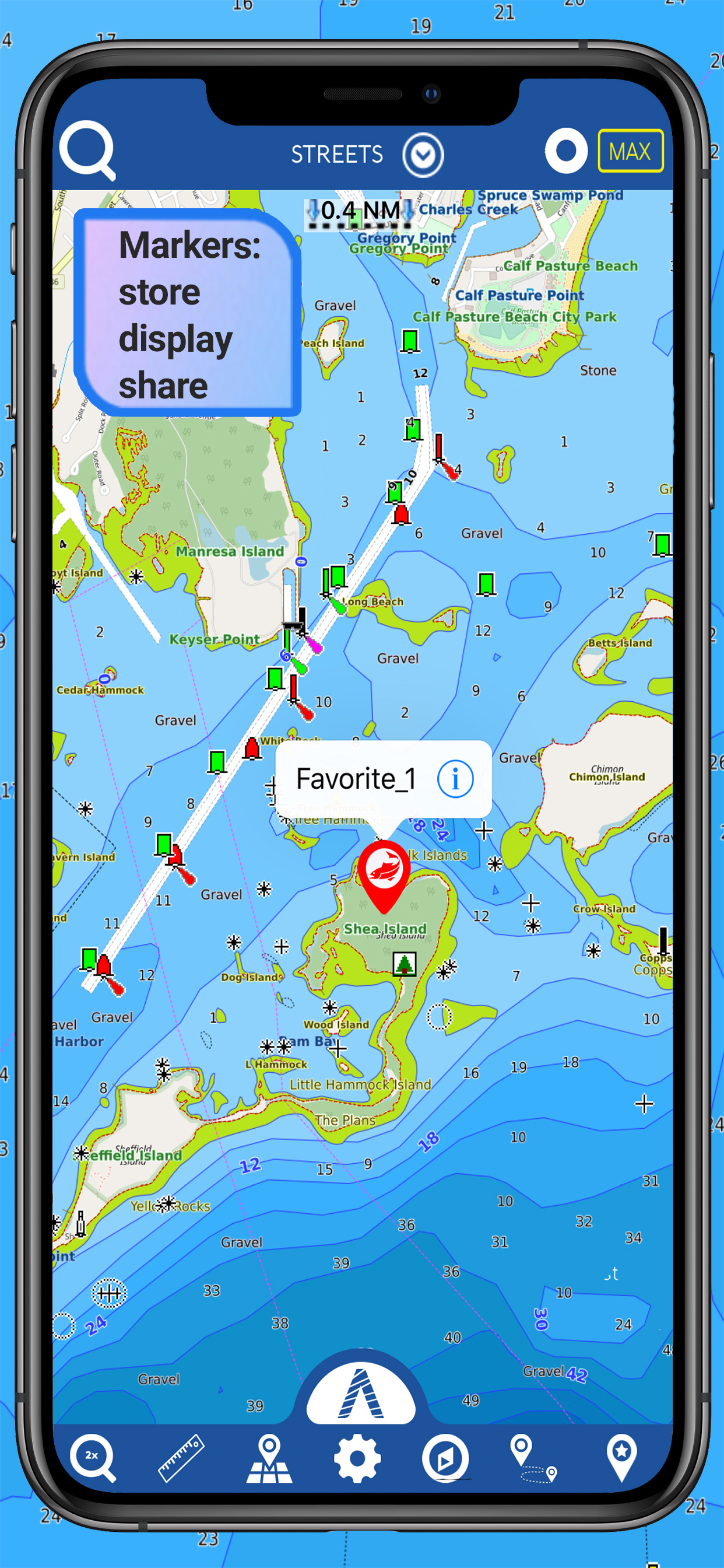
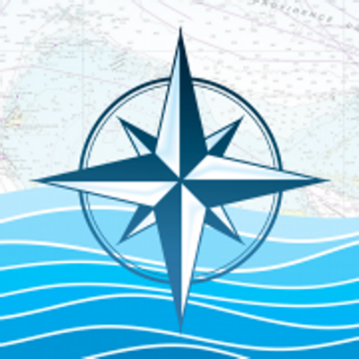
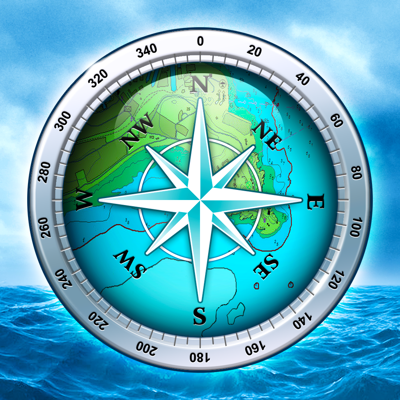
Mapitech launches Atlas, a worldwide digital cartography that combines vector data with the best official up-to-date paper charts ie marinas, depth contours, wrecks, fishing spots, boat ramps, POI and many other features. The beauty of paper charts enriched with digital cartography. Chart details and performance of a professional GPS chart plotter in the palm of your hand. Appealing appearance, easy to use, useful to have on board with you. The app works without mobile coverage (offline). The interactive menu is intuitive and allows you to purchase maps for offline use at an amazing price. Free Features and Functions: •Powerful search •Multiple overlays for different use (fishing, sailing or cruising) •KML data shareable •Very detailed and updated charts •Unlimited Waypoints •Markers & Favorites •Magnifying Lens for all info •Multiple tracks: Record your track, instant speed time, COG - course over ground •Route planning, Waypoints - Insert the destination and see in real time your speed, distance and bearing •Geo-tagged photo management, Share via email, visible on Google •Distance Measurement Tool to easily calculate the distance •Compass •GPS window with very detailed info •User friendly on latest IOS - MARINE MAPS Detailed Electronic Nautical Charts (ENC) which include Coastline, Anchoring areas, Fishing areas, Restricted areas, Obstructions, Rocks, Buoys, Beacons, Lights, Depth contours, Spot Soundings and more. - LAKE MAPS High quality lake maps with detailed information and important features: Depth Contours, Boat Ramps, Fishing spots etc. Maps also include Trails, Roads and Railways information. PURCHASING INCLUDES: •Offline Chart: Choose your favorite area from our catalogue and get a detailed chart of your area •Subscription for 1 year: Get a trial of all our charts and features and subscribe for one year •Lifetime Purchase: Get all our charts and features for Lifetime MORE INFO: Terms of Use: https://mapitech.com/disclaimer/ Privacy Policy: https://mapitech.com/privacy-policy/