Ratings & Reviews performance provides an overview of what users think of your app. Here are the key metrics to help you identify how your app is rated by users and how successful is your review management strategy.
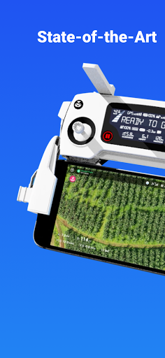
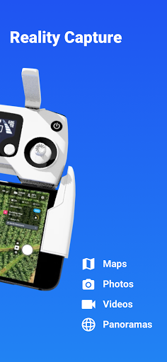
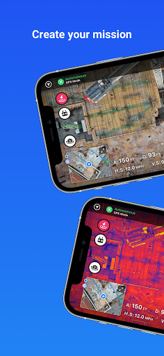
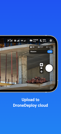
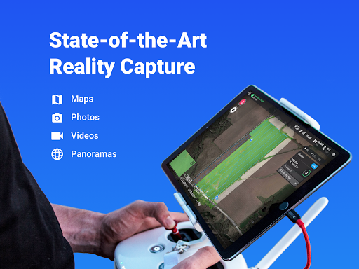
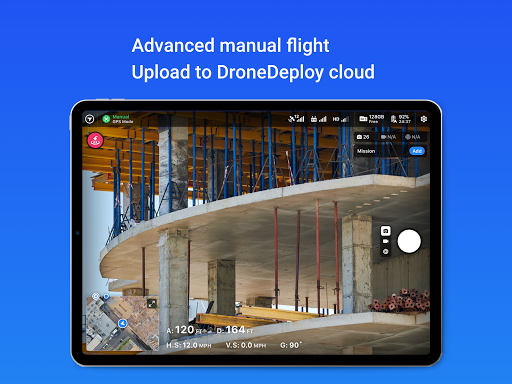
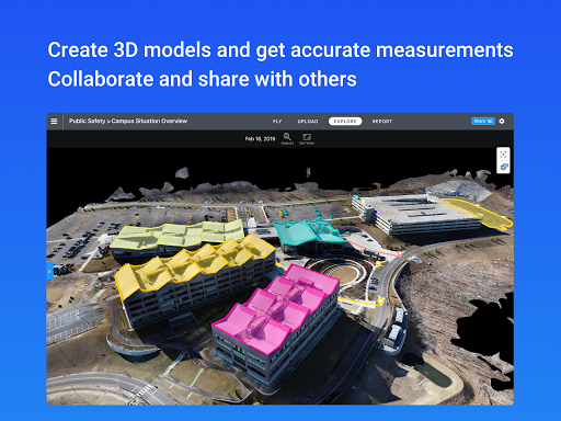
DroneDeploy is the leading cloud software platform for commercial drones, and is making the power of aerial data accessible and productive for everyone. The free DroneDeploy app provides easy automated flight and data capture, and enables you to explore and share high-quality interactive maps, orthomosaics and 3D models directly from your mobile device. Fly your DJI drone autonomously with just two taps on your Android device. Quickly process your imagery with DroneDeploy to generate high-resolution maps and 3D models, analyze, annotate and share your maps with others directly from within the app. Extend your capabilities and take your analysis to the next level with over 80 best-in-class apps available for install within DroneDeploy’s App Market. DroneDeploy is the ultimate app for a wide range of aerial imaging and mapping applications in construction, solar, agriculture, surveying, mining, insurance and inspection and more. DroneDeploy has empowered users to map and analyze over 30 million acres in more than 160 countries. Compatible with DJI’s latest drones: - Mavic 2 Pro / Zoom / Enterprise - Phantom 4 Pro - Matrice 200 / 210 /210 RTK V1/V2 Not Compatible with the Following Hardware: - DJI Mavic Mini series Android 10+ Recommended Automated Mapping for Beginners and Professionals: - Easily make flight plans on any device - Automate takeoff, flight, image capture and landing - Live stream First Person View (FPV) - Disable auto-flight and resume control with a single tap - Easily continue non-interrupted flights to map large areas In-field data analysis on any device: - Explore Orthomosaic, NDVI, Digital Elevation interactive maps and 3D models. - Measure elevation, distance, & area - Measure volume (paid customers) - Collaborate with a team through shared maps and comments - Get help when you need it with in-app support (paid customers) Image processing and analysis available on dronedeploy.com: - Upload imagery from your drone’s SD card to www.dronedeploy.com to process high resolution 3D maps - Process ground control points to create high accuracy maps and models - Export data in the format you need Please join us in improving and discussing the app at http://forum.dronedeploy.com